
The Town That Almost Was
How Baywood Escaped Becoming the Next San Francisco
If you stroll down to the Baywood Pier at low tide, it’s typically almost eerily quiet.
Great blue herons stand motionless like they're waiting for a train that's never coming. Kayakers drift across the estuary, unhurried. The skyline is nothing more than crooked eucalyptus, pygmy oaks, and an occasional sailboat.
It feels untouched.
But if a handful of ambitious 19th-century developers had gotten their way, you’d be looking at something completely different—a bustling commercial port with railroad tracks, warehouses, hotels, and thousands of residents.
Welcome to our first historical deep dive.
This is the story of how Baywood Park narrowly escaped becoming one of California’s boomtowns.
Before the Speculators: The First Residents
Long before maps, property lines, or real estate brochures, this land was home to the Chumash and later Salinan peoples.
For thousands of years they fished the estuary, gathered shellfish, hunted the surrounding hills, and lived in harmony with one of California's richest coastal ecosystems. Sweet Springs was an important freshwater source long before anyone imagined building homes nearby.
Then, in 1769, the Portolá Expedition passed through the valley.
Instead of finding paradise, they encountered an astonishing number of California grizzly bears. The explorers were so impressed they named the area La Cañada de Los Osos—”The Valley of the Bears.”
By the late 1800’s the bears had disappeared, dairy farms dotted the landscape, and the bay was quiet once again.
That wouldn't last.
1889: The Boom That Never Happened
In 1889, land promoters looked across Morro Bay and saw opportunity.
They purchased thousands of acres around today's Baywood and laid out an enormous townsite called El Moro.
Streets were carefully surveyed, thousands of building lots were mapped, and advertisements appeared throughout California promoting the community as a future commercial center.
The sales pitch sounded irresistible
Buy now before prices soar
A Southern Pacific Railroad line was expected
William Randolph Hearst was building his Castle in San Simeon and wanted the railroad to come to him
A thriving port would follow
Businesses, hotels, homes, and prosperity were supposedly on the way
There was only one problem.
The railroad never came.
Southern Pacific ultimately chose a route over Cuesta Grade instead of around the back bay. Without rail service, El Moro lost its biggest selling point almost overnight.
Most of the grand city existed only on paper.
Richard Otto Changes the Story
The largely undeveloped land remained quiet until 1921, when entrepreneur Richard Otto purchased roughly 1,000 acres and created Baywood Park Estates.
Otto certainly knew how to sell property, but he also developed a genuine affection for the area.
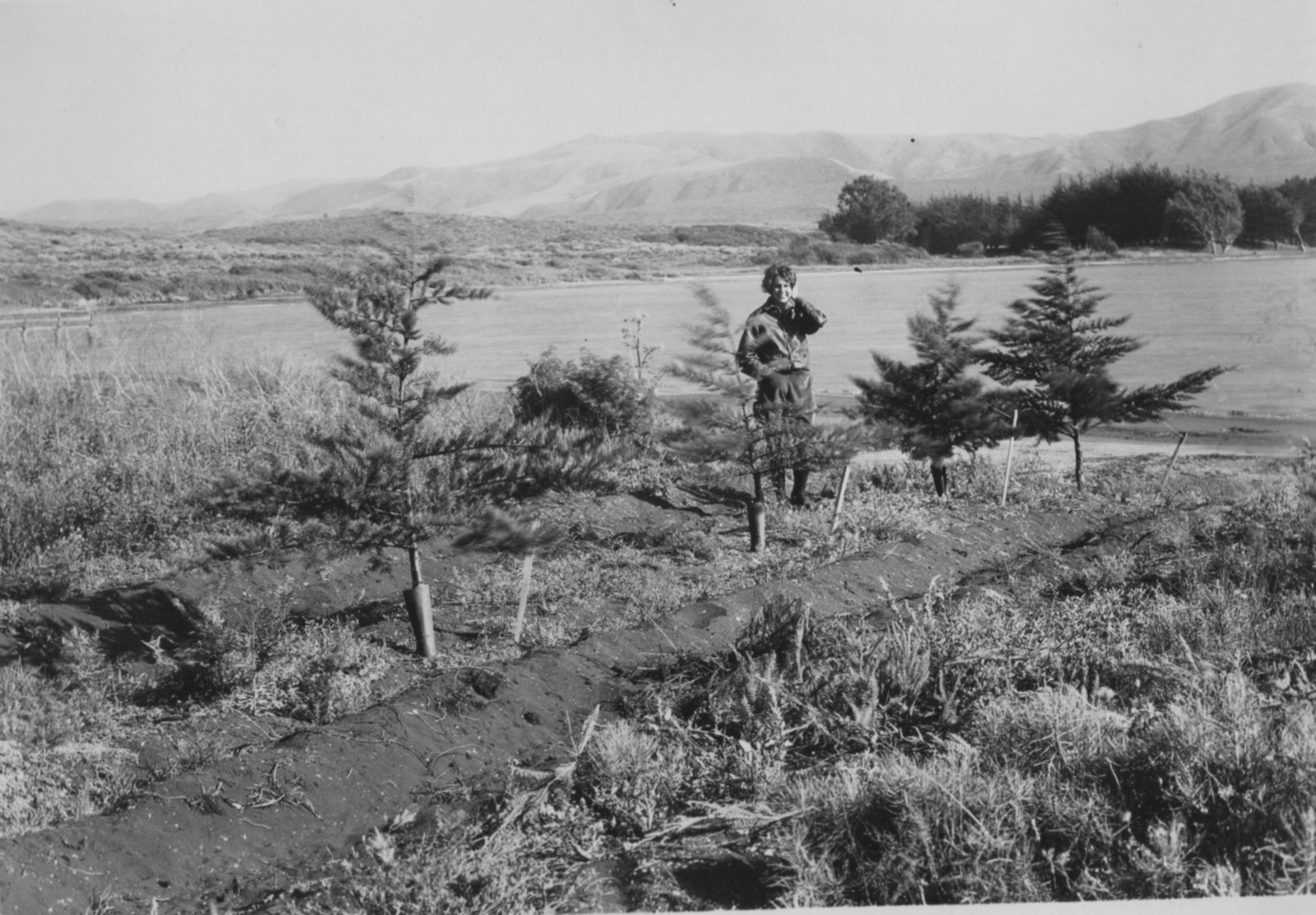
He and his wife Shirley began planting thousands of trees—including Monterey pines and eucalyptus—to transform the sandy landscape into the wooded neighborhood we know today.
Many of the mature trees that define Baywood's character trace their origins back to those early plantings.
Even more importantly, Otto preserved approximately 90 acres of native habitat that eventually became today's El Moro Elfin Forest, one of the Central Coast's most treasured natural preserves.
Why Baywood Still Feels Different
Because the railroad never arrived and the speculative boom collapsed, Baywood grew slowly.
Instead of factories, freight yards, and commercial docks, the town evolved into a peaceful waterfront community that attracted artists, retirees, nature lovers, and people who preferred birdsong over traffic noise.
The Post Office officially combined Baywood's mailing address into Los Osos during the 1970s, but longtime residents still know exactly where Baywood begins—and where it ends.
There’s a distinct identity here that’s difficult to define until you’ve spent some time on the bay.
A Happy Accident
Sometimes history is shaped as much by what doesn't happen as by what does.
Had the railroad chosen a different route, Baywood Park might have become another crowded coastal city.
Instead, we inherited something far more valuable:
quiet mornings
protected estuary
towering trees
sunsets that belong more to the herons than to us
So next time you’re standing on the Baywood Pier watching the tide roll in, you might want to give a little silent thanks to the Southern Pacific Railroad.
By skipping Baywood, the Southern Pacific Railroad may have accidentally saved it.
Los Osos/Baywood Park Chamber of Commerce — Community History
San Luis Obispo County Cultural Resource Study
Estero Bay News historical features
California State Parks — Montaña de Oro State Park
Friends of El Moro Elfin Forest
U.S. Army Corps of Engineers — Baywood Park Training Area
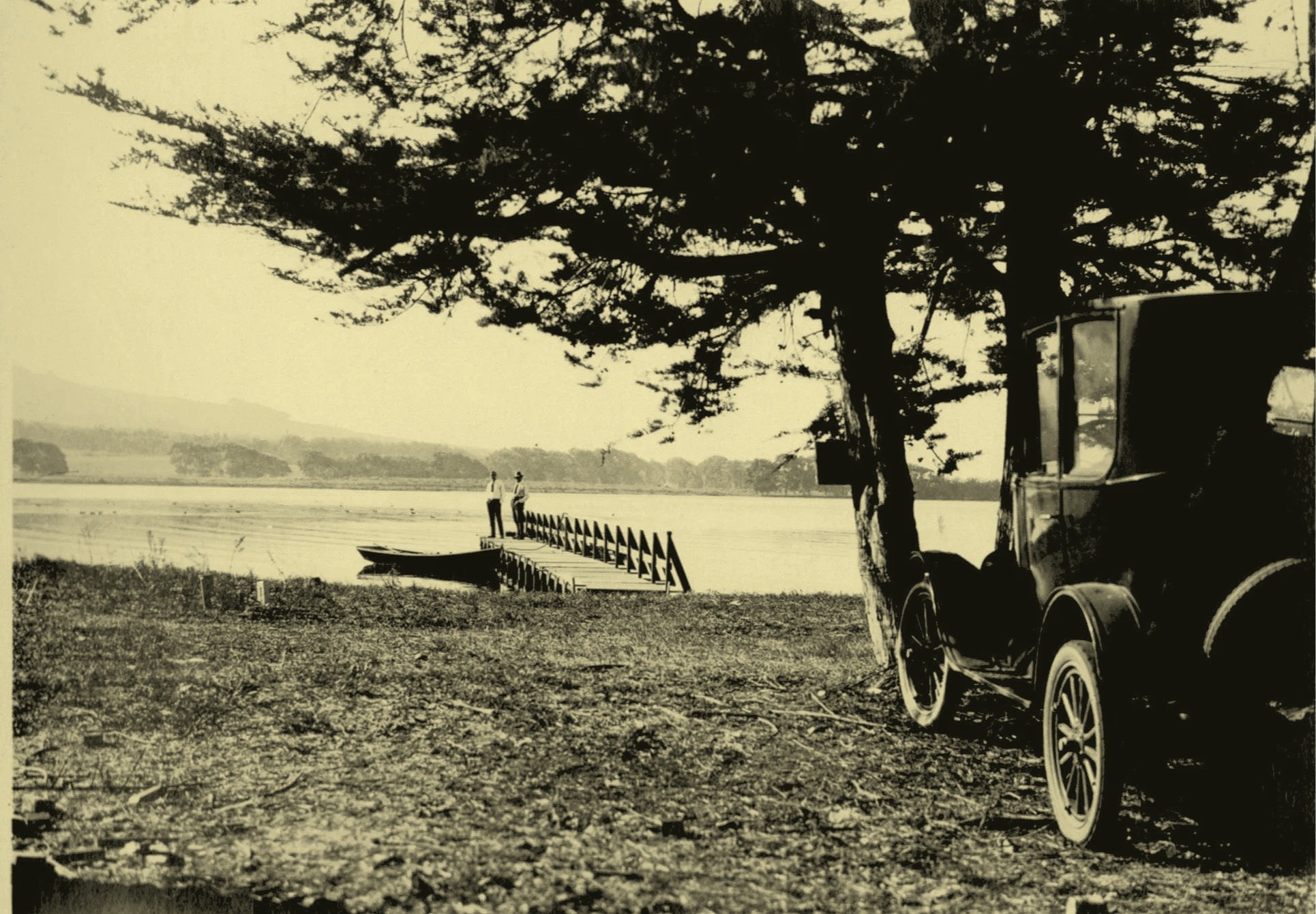
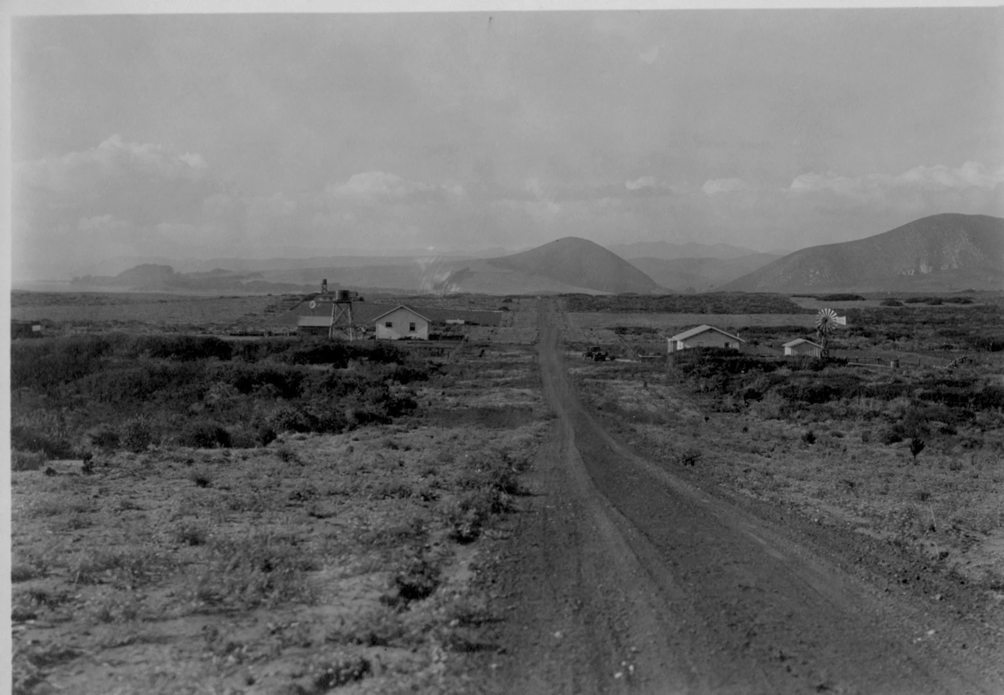
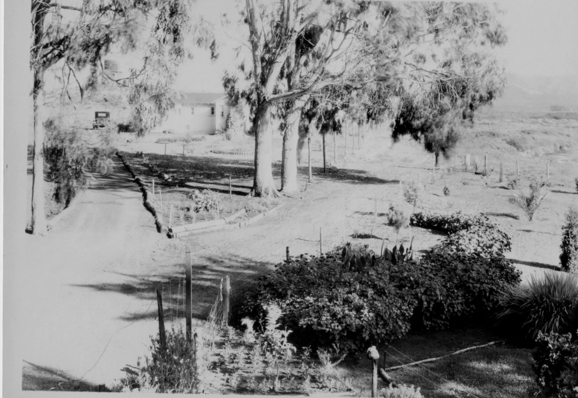
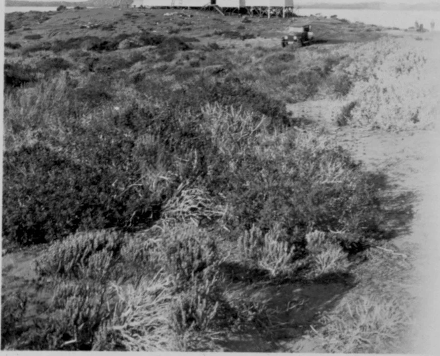
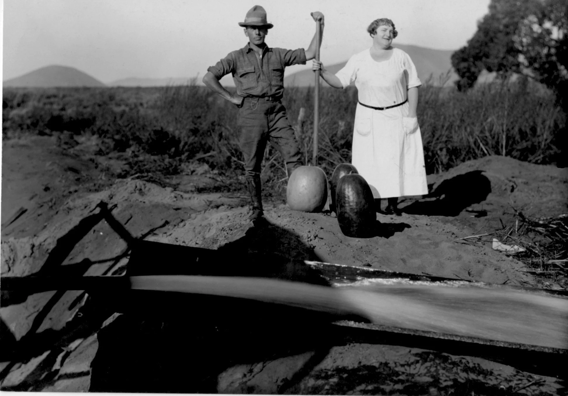
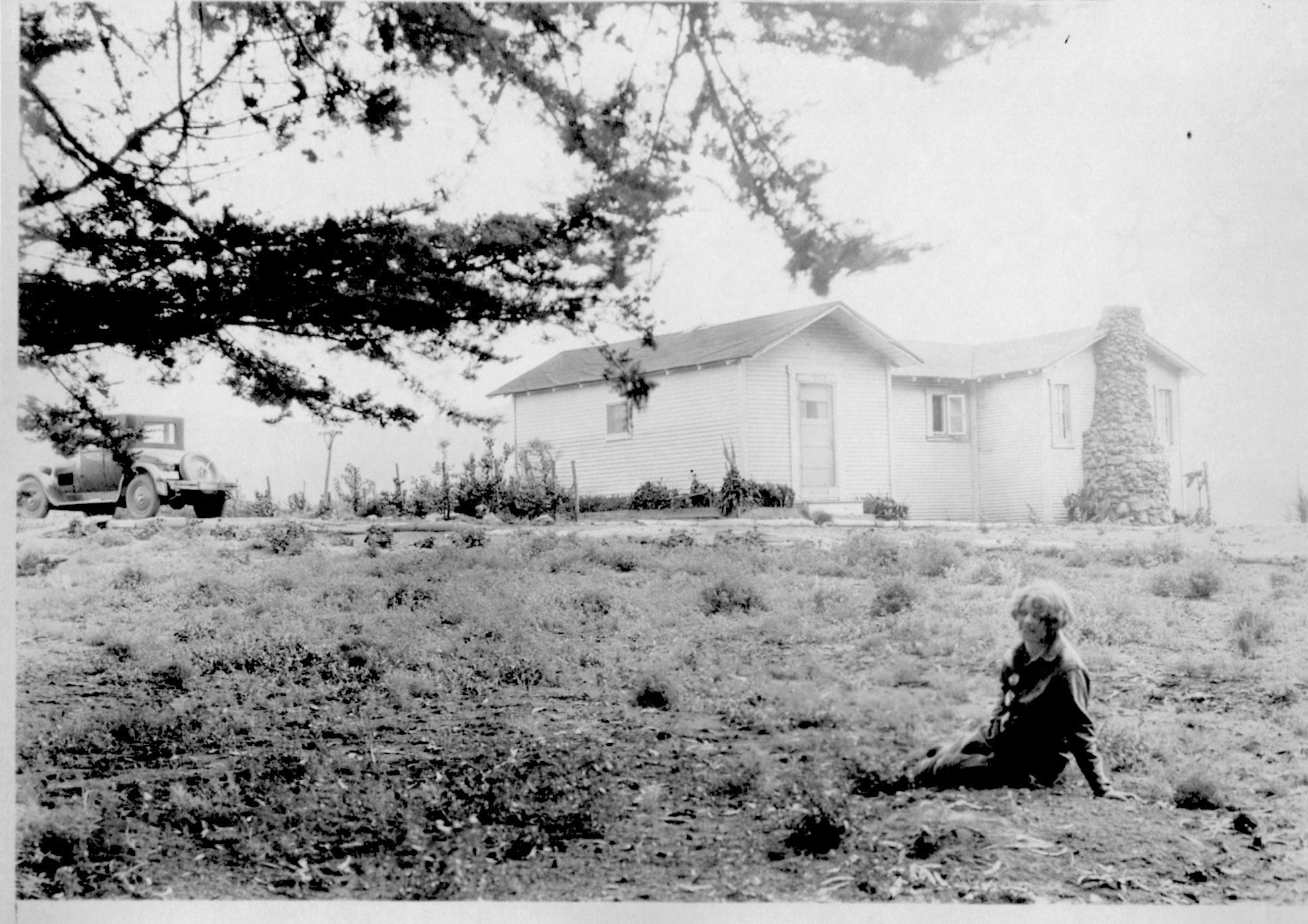
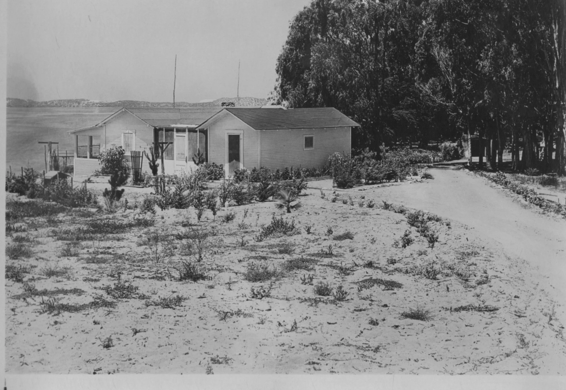
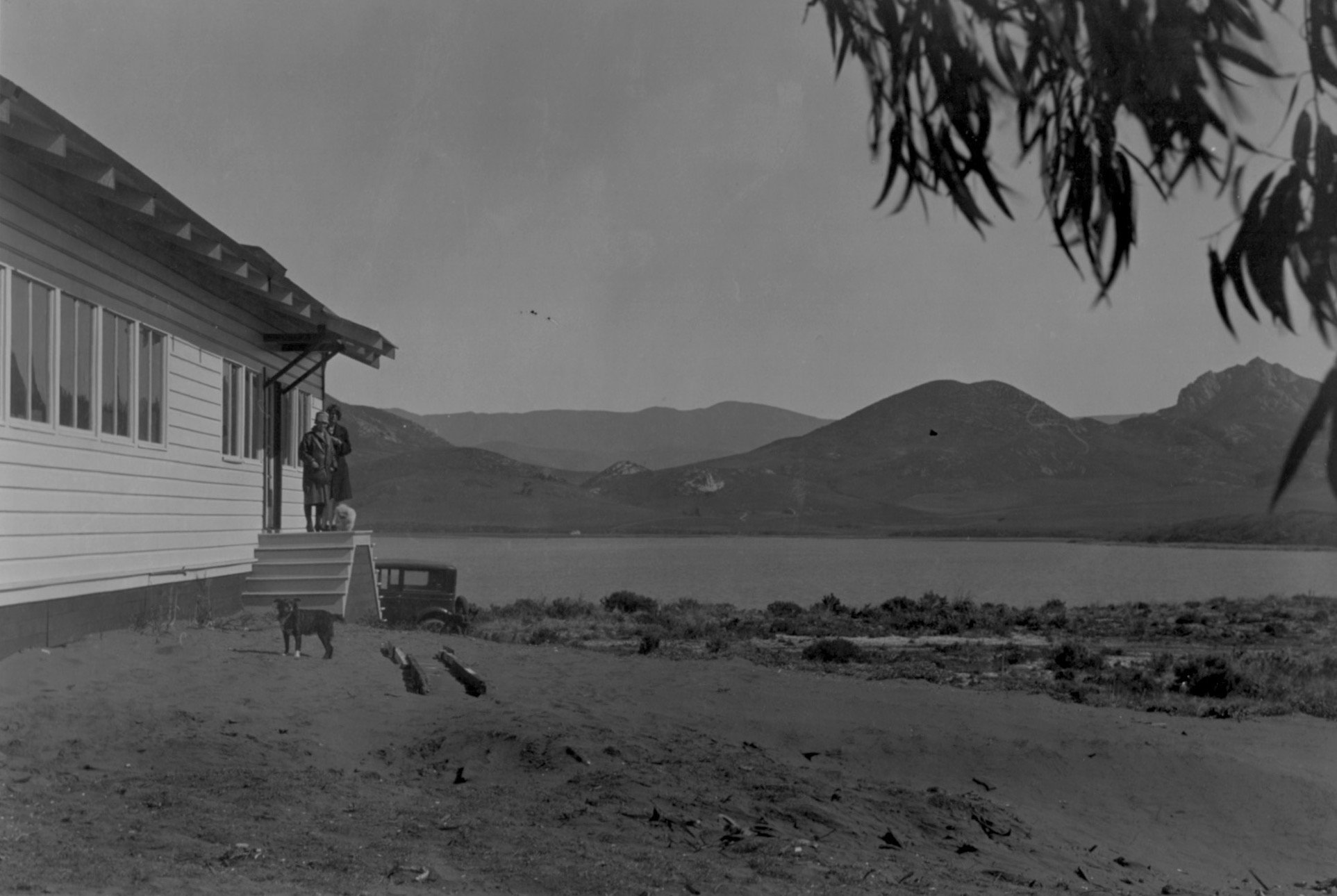
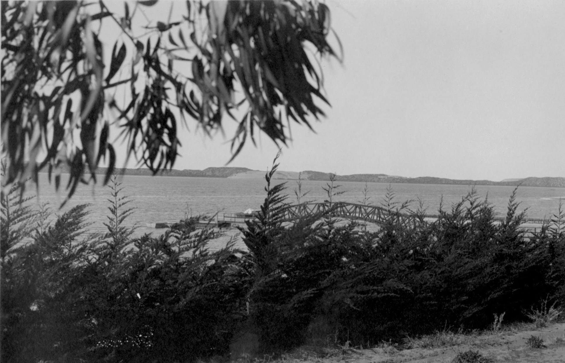
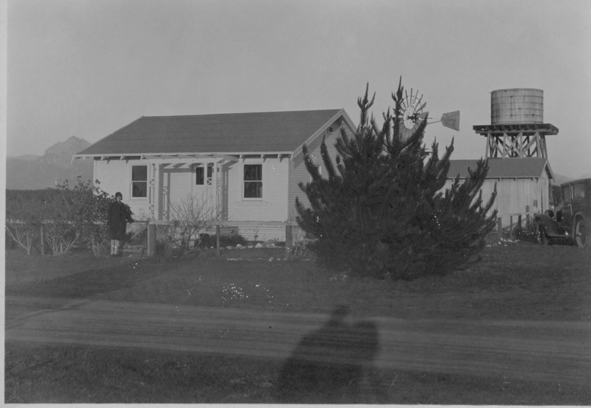
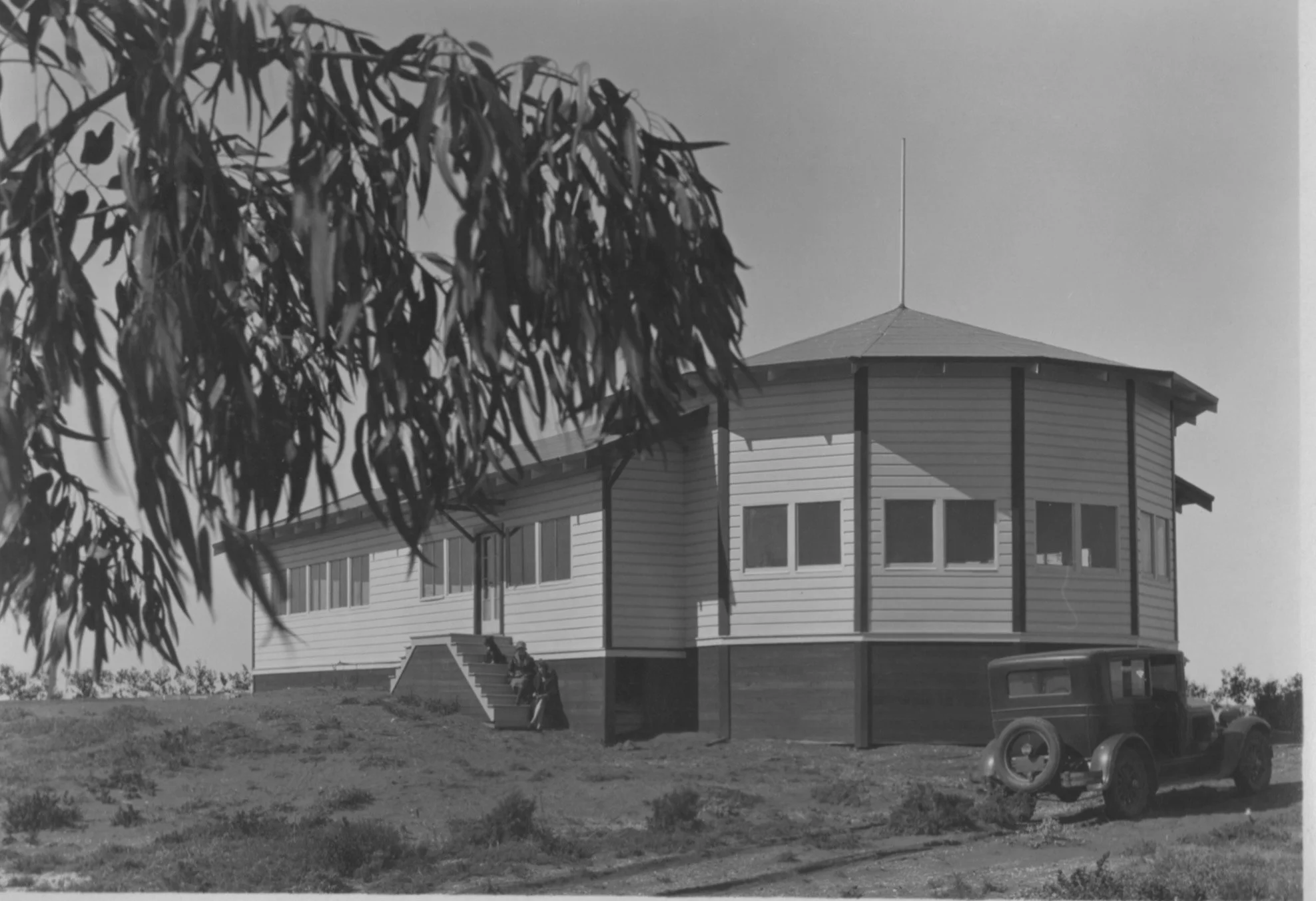
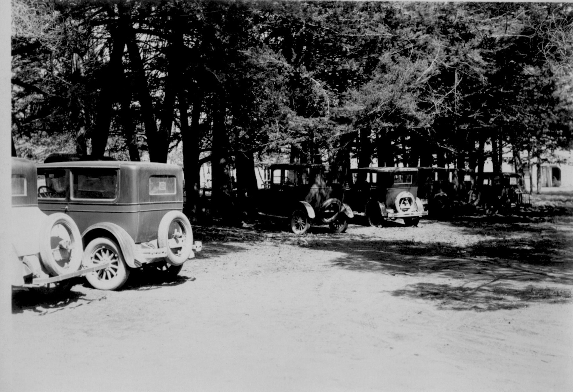
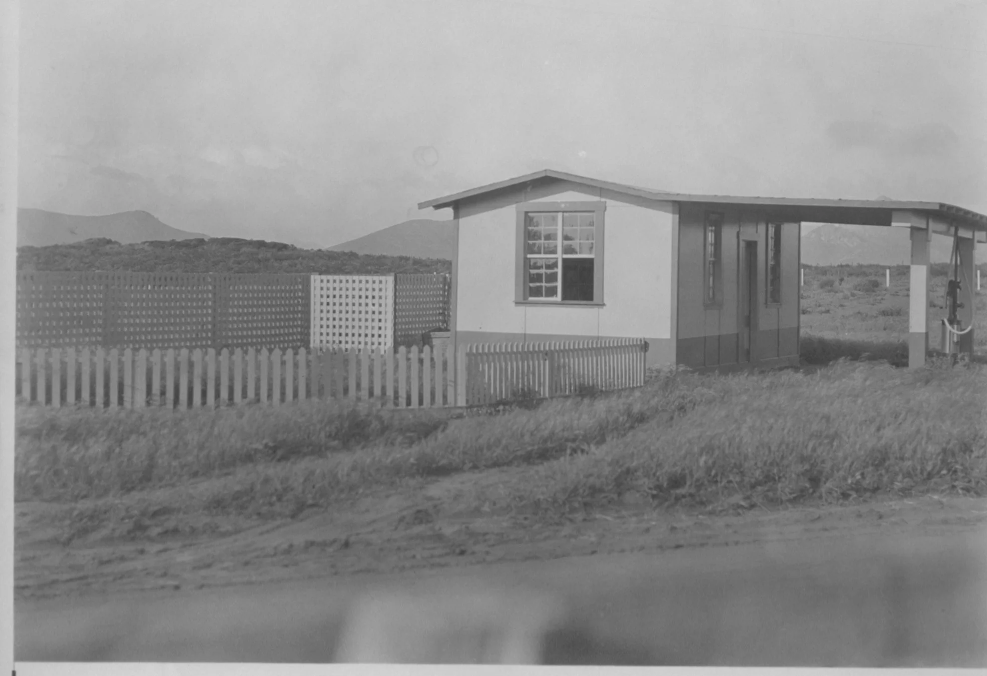
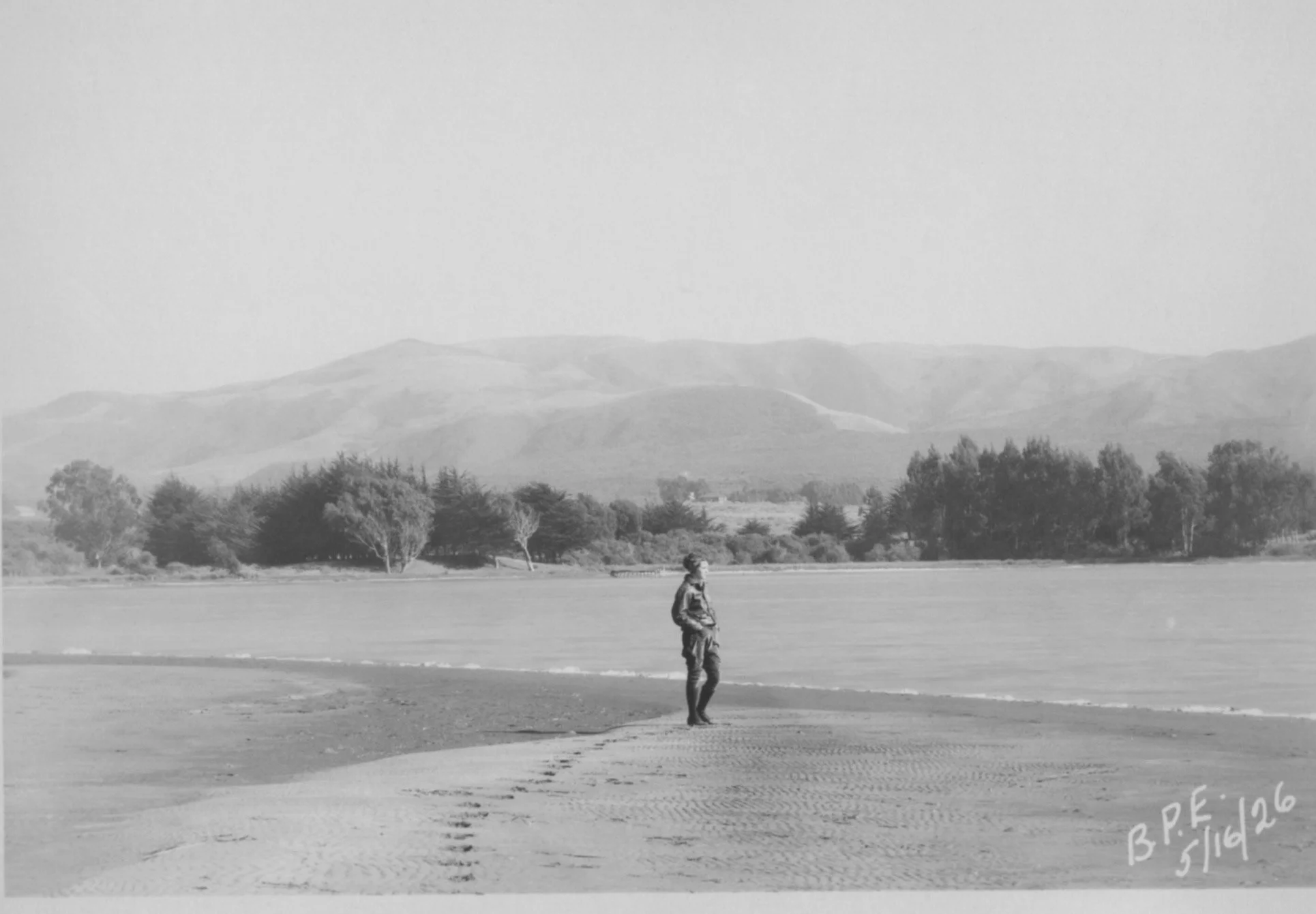
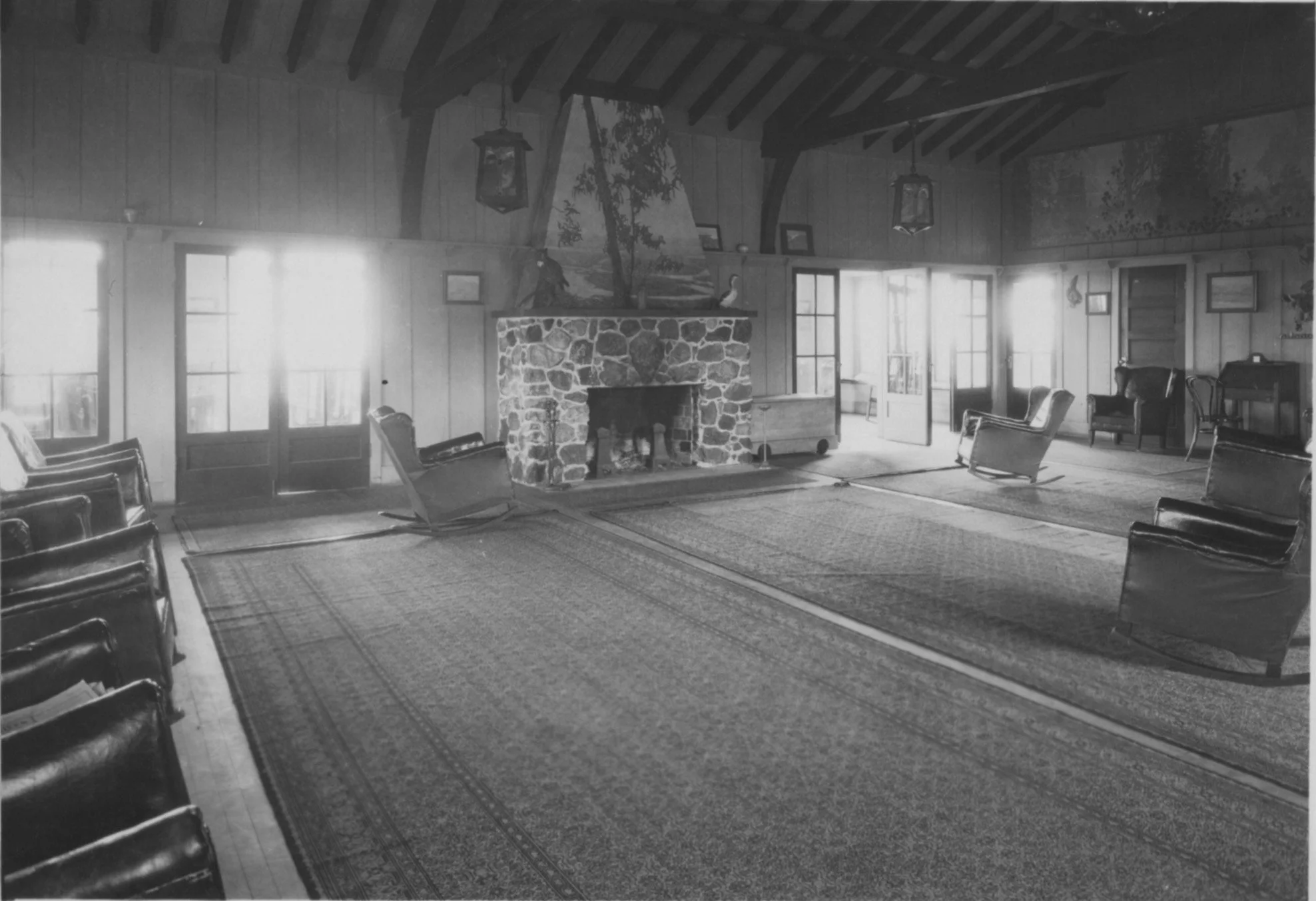
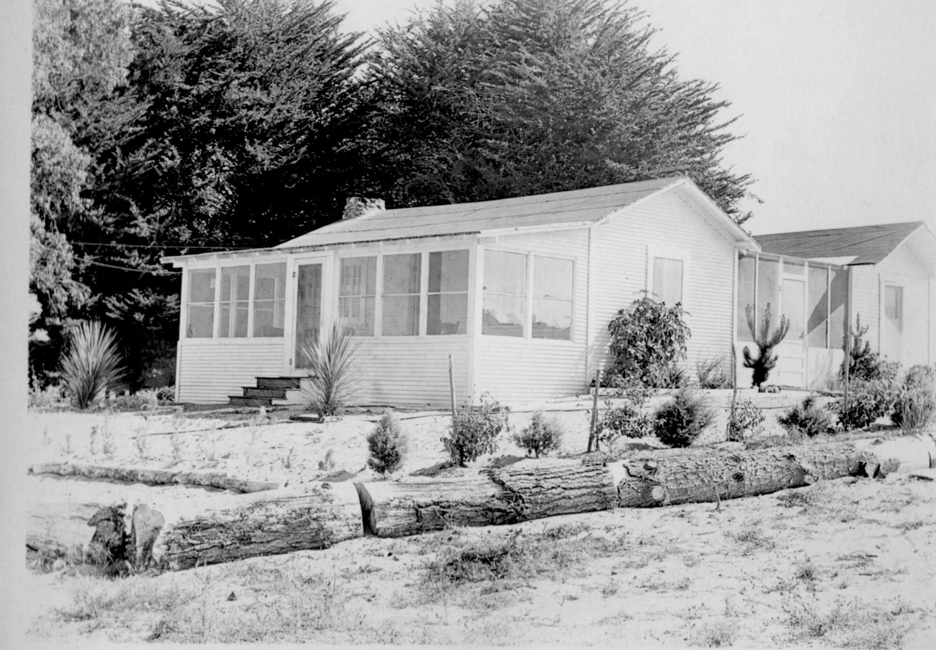
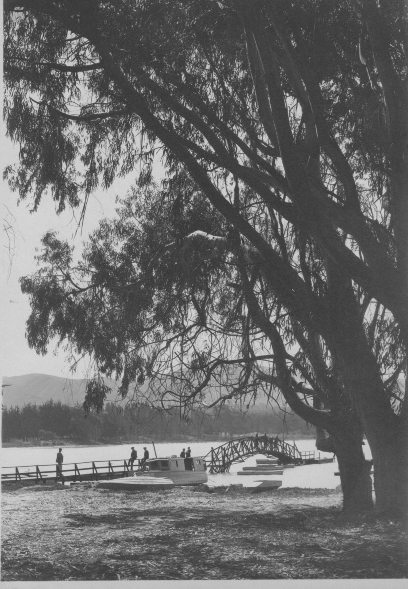
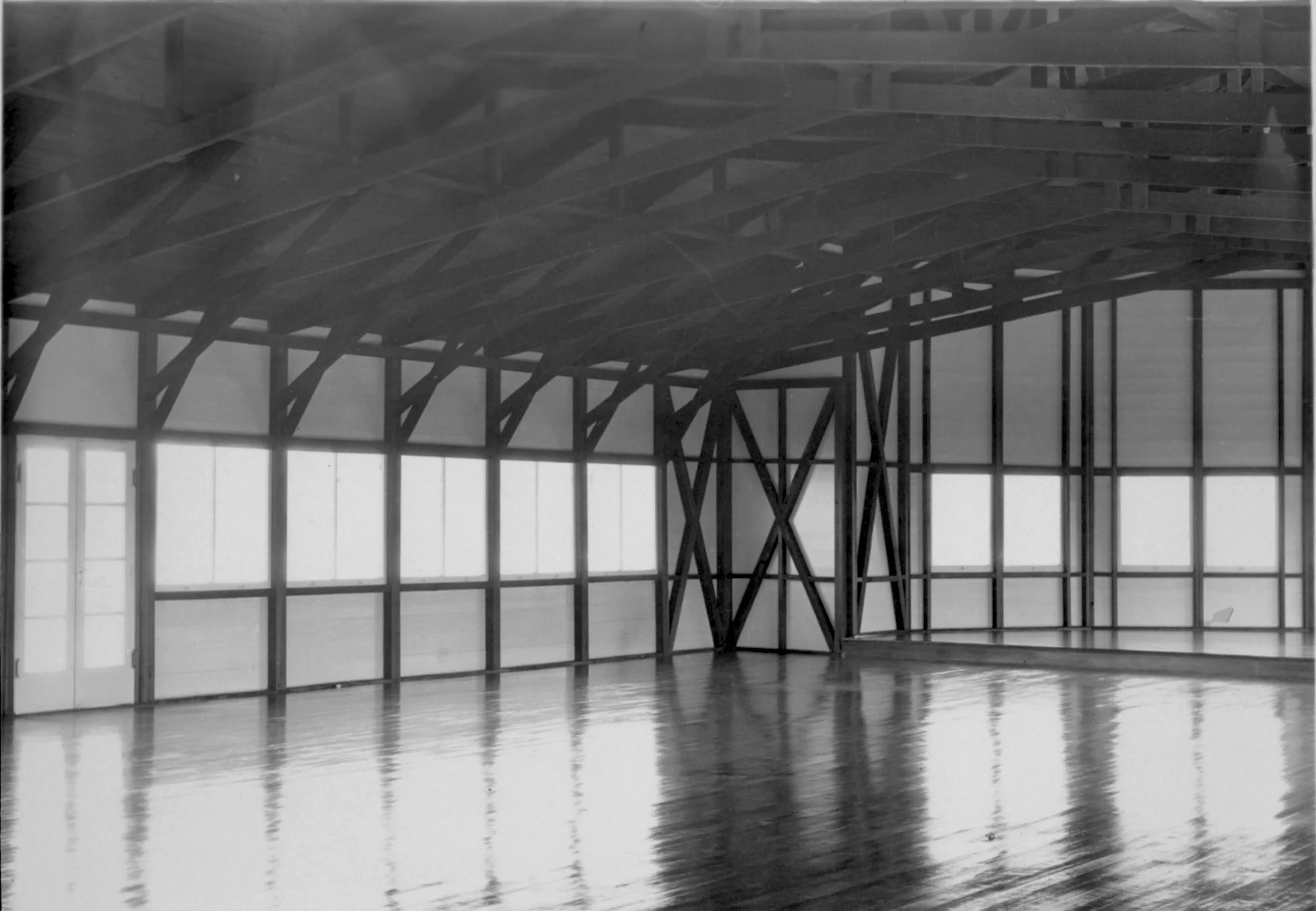
Historic photos circa 1920’s Baywood Park
History of Montaña de Oro and Los Osos
Montaña de Oro State Park lies immediately south of Los Osos and shares much of the community’s cultural and agricultural history.
Indigenous era: Ancestors of today’s Chumash and Salinan peoples lived along this coast for at least 9,000 years. They moved between coastal and inland environments, fishing, gathering shellfish and seeds, hunting, and participating in regional trade networks.
Spanish mission period: The Portolá expedition traveled through the region in 1769. After Mission San Luis Obispo de Tolosa was founded in 1772, many Indigenous residents were drawn or forced into the mission system. Disease, violence, and displacement severely reduced their population, although Chumash and Salinan communities and traditions continue today.
Mexican rancho period: Following mission secularization, the area became part of Rancho Cañada de los Osos y Pecho y Islay. Governor Pío Pico granted the consolidated rancho to James Scott and John Wilson in 1845. Its boundaries included modern Los Osos, Montaña de Oro, and portions of the Irish Hills.
Spooner Ranch and Prohibition: Alden B. Spooner II began farming here during the early 1890s and purchased the property in 1902. By 1917, his operation covered approximately 9,000 acres and six miles of coastline. Because roads were poor, Spooner built a warehouse and loading chute above Spooner’s Cove so farm products could be transferred directly to ships. During Prohibition (1920–1933), the cove’s isolation also made it a convenient landing place for bootleggers. It became known locally as “Smuggler’s Cove,” where illegal liquor—reportedly brought north from Mexico—was unloaded for distribution to area speakeasies. The surviving Spooner Ranch House is now the park’s visitor center.
Japanese American farmers: During the 1920s and 1930s, Japanese American families leased portions of the coastal terraces and cultivated vegetables. Their work ended in 1942 when the federal government forcibly removed and incarcerated Japanese Americans during World War II.
From ranch to state park: Oliver C. Field bought the ranch in the early 1940s, followed about a decade later by Irene McAllister. California purchased the property in 1965 for a state park and retained McAllister’s name for it: Montaña de Oro, Spanish for “Mountain of Gold.”
Despite the name, Montaña de Oro was not an important gold-mining district. The “gold” refers to the masses of yellow and orange wildflowers that cover its hills in spring.
The park’s cliffs, tilted sedimentary beds, and staircase-like marine terraces tell an even older story. Some rock layers were deposited around six million years ago and later uplifted and tilted by tectonic forces. Today, Los Osos serves as the principal gateway to this preserved stretch of coastline.
Sources: California State Parks historical brochure, California State Parks GeoGem guide, Los Angeles Times, and Highway 1 Road Trip.
History of the Elfin Forest in Los Osos
The El Moro Elfin Forest Natural Area is an approximately 90-acre preserve on the southeastern shore of Morro Bay, between Los Osos and the estuary. Its history combines ancient geological change, Indigenous land use, community development, and a major local conservation effort.
Formation of the landscape: About 18,000 years ago, sea level was more than 400 feet lower and the coastline lay several miles west of its present location. As the Ice Age ended, rising seas flooded the former river valley and large sand dunes accumulated beneath present-day Los Osos. These nutrient-poor dune soils eventually supported coastal scrub, maritime chaparral, salt marsh, and unusually small coast live oaks.
Indigenous history: Archaeological evidence shows that people have occupied the area for at least 9,000 years. Ancestors of today’s Chumash and Salinan peoples used the forest, estuary, and surrounding lands for hunting, fishing, gathering plants and shellfish, and other seasonal activities. Archaeologically significant sites remain within the preserve.
Spanish and rancho periods: Spanish settlement and the establishment of Mission San Luis Obispo in 1772 brought disease, displacement, livestock grazing, and introduced plants. During the Mexican period, the area became part of Rancho Cañada de los Osos y Pecho y Islay, the enormous 1845 land grant that also included modern Los Osos and Montaña de Oro.
Development of Baywood Park: Land surrounding the forest was divided into vacation-home lots as early as 1889, although few lots were initially sold. Richard Otto purchased approximately 1,000 acres in 1921–22 and developed much of it as Baywood Park Estates. The tract that became the Elfin Forest remained largely undeveloped while houses and roads gradually spread around it, especially after the 1970s.
Saving the forest: By the early 1980s, residents recognized that development threatened one of Los Osos’ last relatively undisturbed natural areas. The Los Osos/Morro Bay chapter of Small Wilderness Area Preservation, or SWAP, led a long campaign to protect it. In 1987, community advocacy helped secure state funding to purchase 51.2 acres bordering Los Osos Creek and add them to Morro Bay State Park.
Completion of the preserve: After approximately nine years of fundraising, SWAP joined San Luis Obispo County, the State Coastal Conservancy, Caltrans, and other partners to acquire the remaining 38.9 acres in 1994. The campaign raised approximately $1.6 million. Portions of the resulting natural area are owned by the county, California State Parks, and the State Lands Commission.
The forest today: SWAP adopted the forest in 1994 and later became Friends of El Moro Elfin Forest. Working with public agencies, volunteers maintain trails and the boardwalk, restore native habitat, remove invasive plants, protect archaeological resources, and educate visitors about the Morro Bay estuary.
The name “Elfin Forest” comes from its centuries-old coast live oaks. These trees can reach around 50 feet elsewhere, but wind, salt exposure, dry sand, and limited nutrients keep many of the forest’s mature oaks only 4 to 20 feet tall. Their twisted, miniature appearance gives the preserve its distinctive name.
Sources: Natural History of the Elfin Forest, Saving the Elfin Forest, Friends of El Moro Elfin Forest, and the San Luis Obispo County Habitat Conservation Plan.
History of Sweet Springs Nature Preserve
Sweet Springs Nature Preserve is a protected coastal wetland on the southern shore of Morro Bay in Los Osos. Its history stretches from an Indigenous settlement and farming landscape to a community-supported wildlife preserve.
Beginning around AD 500: Archaeological evidence indicates that Chumash people occupied and used the freshwater springs and surrounding estuary for more than a thousand years, continuing into the late 1700s. The area remains culturally important to local Indigenous communities.
1769–1770: The Portolá expedition passed through the broader Los Osos region during Spain’s colonization of Alta California.
Mexican period: The property became part of the Mexican land grant known as Rancho Cañada de los Osos.
1893: Developers Norman Harrison and D. R. Oliver designated the springs as parkland in a proposed subdivision called Sunshine Beach. The development was never legally recorded and did not succeed.
Early–mid 1900s: The property passed through several owners. Charles Ferrell reportedly operated the Duck Inn there. Later owners used portions for agriculture; Harold and Orlien Broderson dug ponds while operating a potato farm. Proposals for a hotel, boat launch, and library were ultimately unsuccessful, partly because of community opposition.
1985: The Morro Palisades Company donated the central Sweet Springs property to the California State Coastal Conservancy for preservation as a park.
1989: The Coastal Conservancy transferred the property to the Morro Coast Audubon Society, which has managed it for wildlife habitat, environmental education, quiet public access, and birdwatching ever since.
2002: A boardwalk and viewing platform overlooking Morro Bay opened to the public.
2008: The Trust for Public Land arranged the $2 million acquisition of an adjoining eight-acre parcel called East Sweet Springs. Funding came from the State Coastal Conservancy, California Wildlife Conservation Board, and U.S. Fish and Wildlife Service. Ownership was transferred to Morro Coast Audubon with permanent conservation restrictions. Morro Coast Audubon
2011–2016: Audubon developed restoration and public-access plans while preparing special protections for the federally endangered Morro shoulderband snail.
2017: East Sweet Springs opened with an accessible trail, raised boardwalk, wildlife-viewing blind, benches, tactile guides, and interpretive exhibits about birds, native plants, the Chumash heritage, and the Morro shoulderband snail. East, Central, and West Sweet Springs began operating as one preserve.
2022: Audubon purchased approximately one additional acre of willow thicket and pygmy coast-live-oak habitat near Pismo Avenue. Community donors financed the acquisition, bringing the preserve to a little over 33 acres at that time. Estero Bay News
2023 onward: Restoration has continued, particularly the replacement of invasive veldt grass with native coastal-dune vegetation. Recent work has involved volunteers, Los Osos Middle School students, conservation crews, and consultation with the Northern Chumash Tribal Council and the Salinan Tribe. California State Coastal Conservancy
Today, Sweet Springs protects freshwater springs, salt marsh, tidal ponds, coastal dunes, oak and willow habitat, and an important resting and feeding area along the Pacific Flyway. Its modern history is largely a story of local opposition to development, public land acquisition, volunteer stewardship, and gradual ecological restoration.